
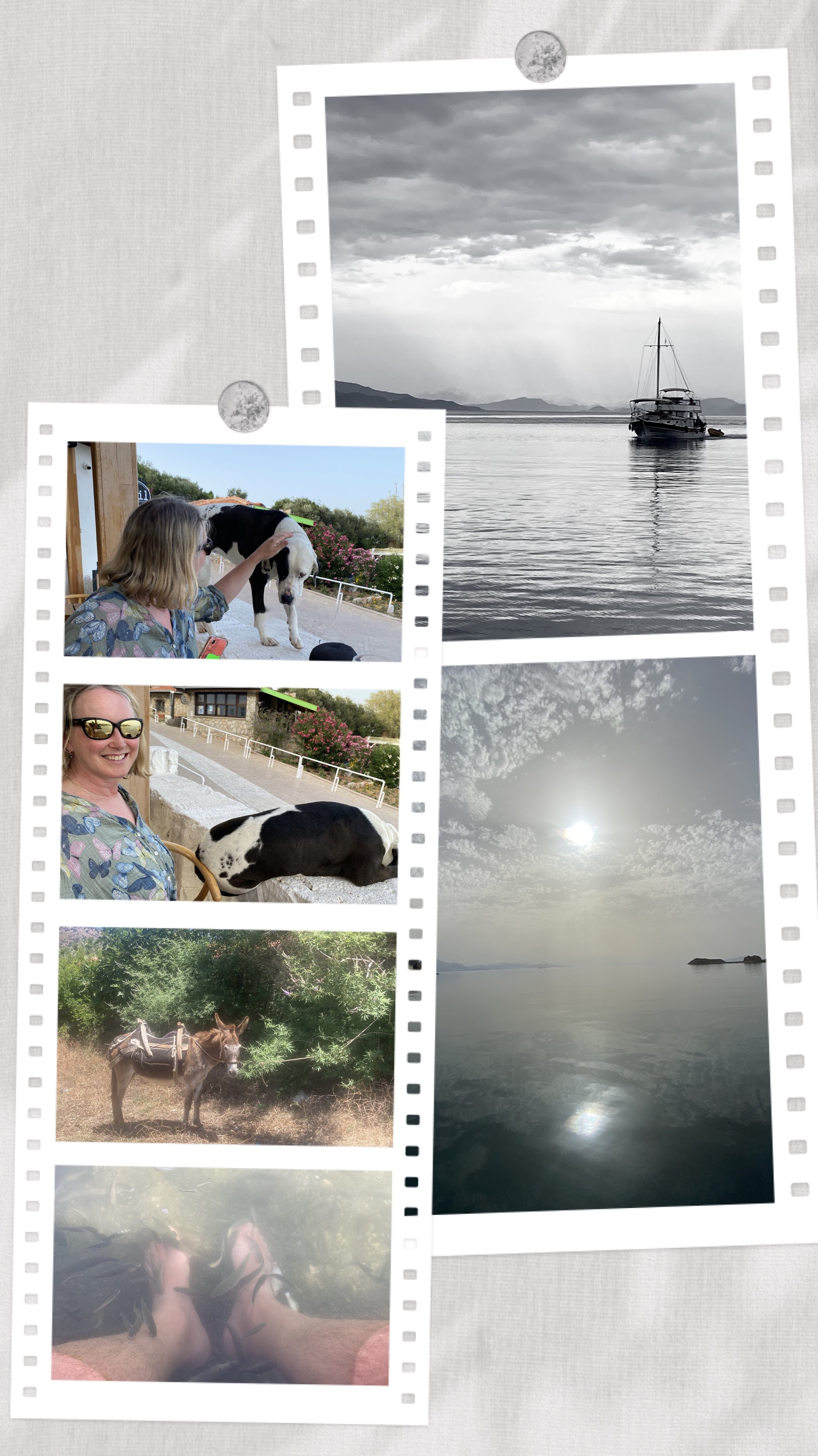
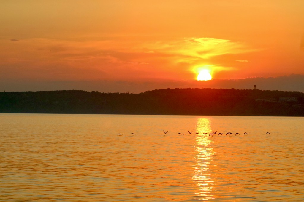
Hello, welcome, come aboard. We’ve been busy adventuring, doing new things and hope that you have had an equally lively and happy time since our last post. I’m a bit behind on my blog, so for a quick update, since I last wrote we’ve battled to escape the Meltemi winds, visited Athens and Delphi, viewed the Corinth Canal from above, then motored Longo through. After exiting the canal, we pounded into wind and waves with green water flowing over cabin top for over an hour. Aarrgh, the decks were awash! To make it even better, a thunderstorm was developing near our destination. It wasn’t close enough to cause any real problems, but we did have to push through a 37 knot squall which dropped our speed down to 3 knots (5.5kph) for about 20 minutes before reaching a safe harbour.
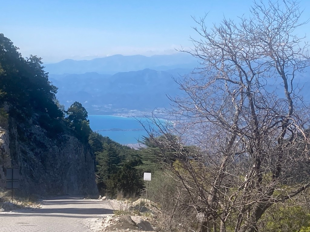
Now that’s all behind us, the Ionian thus far is proving to be sedate and beautiful. But we are having to zoom through quite quickly while taking notes for our next visit when we have more time. I’ll cover more in future blogs, but for now I must jump back to the end of my last.
Land Ho! – Greece
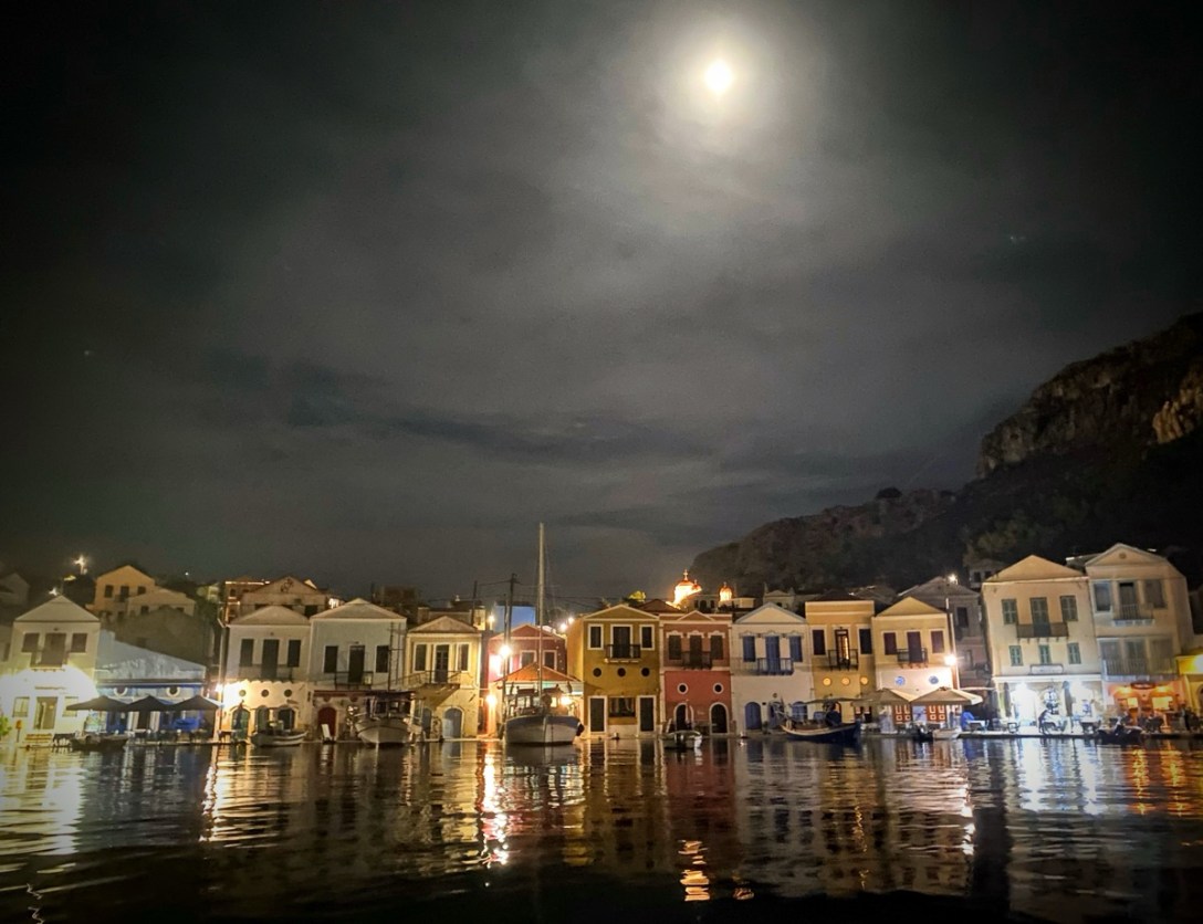
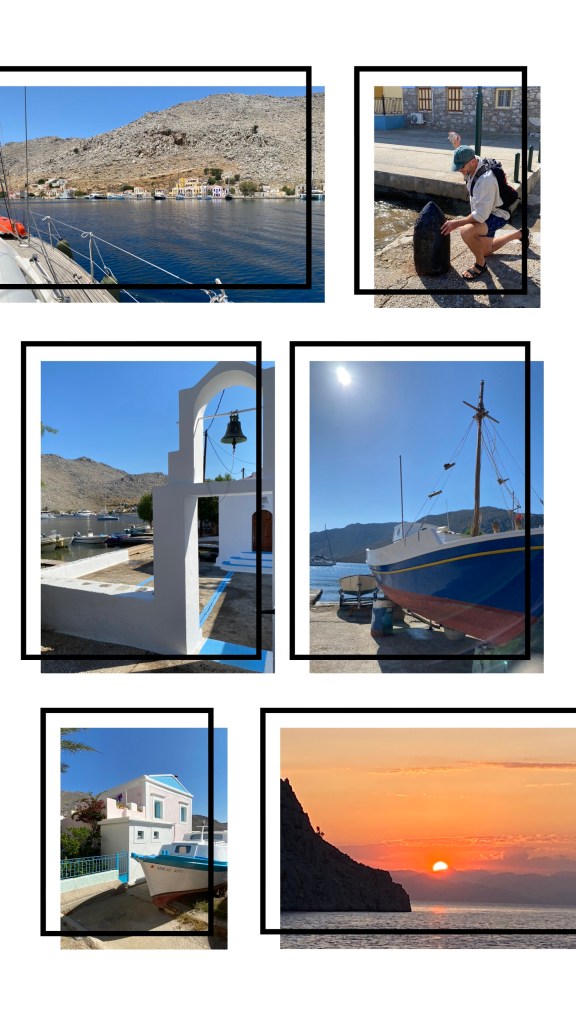
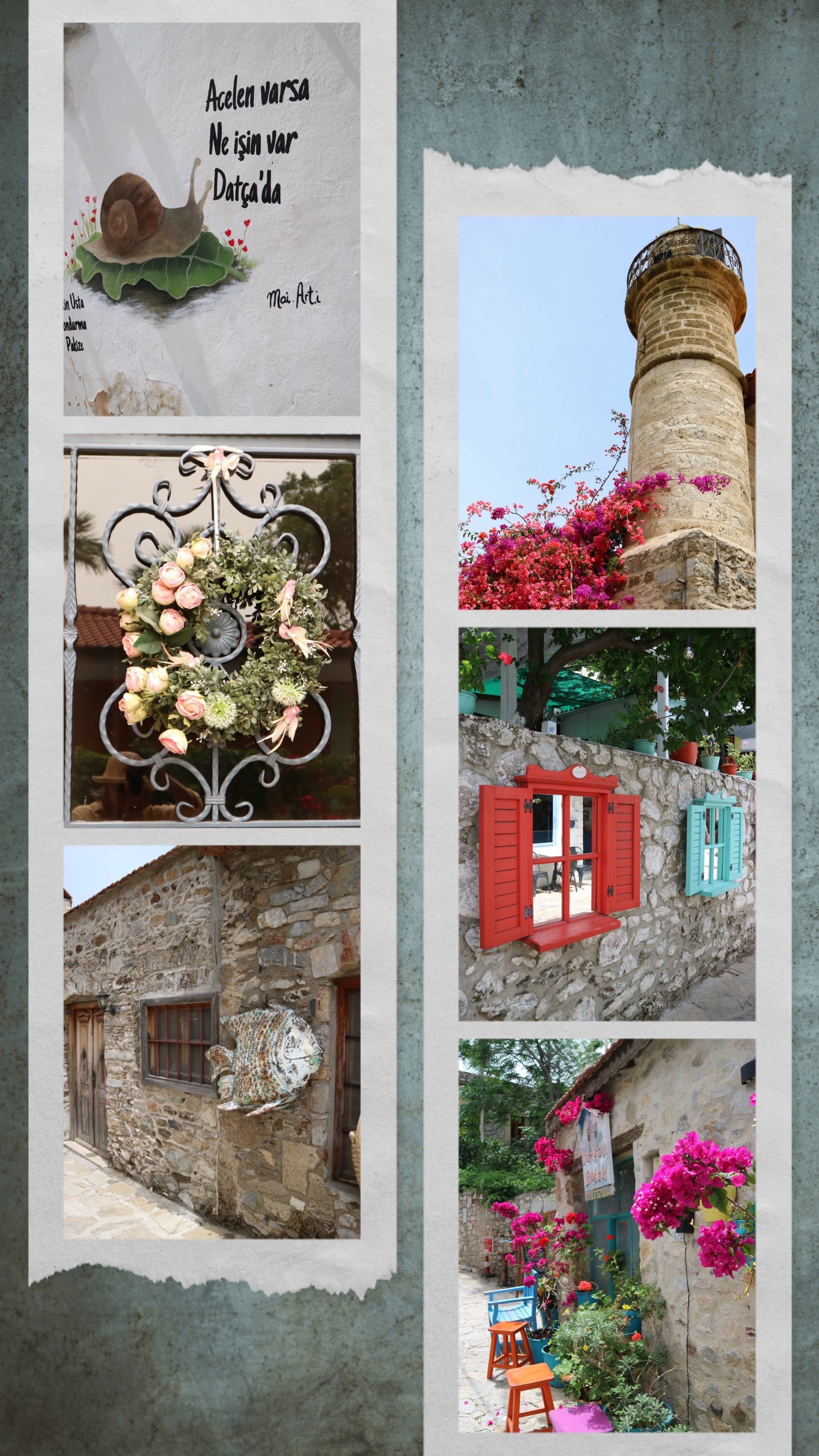
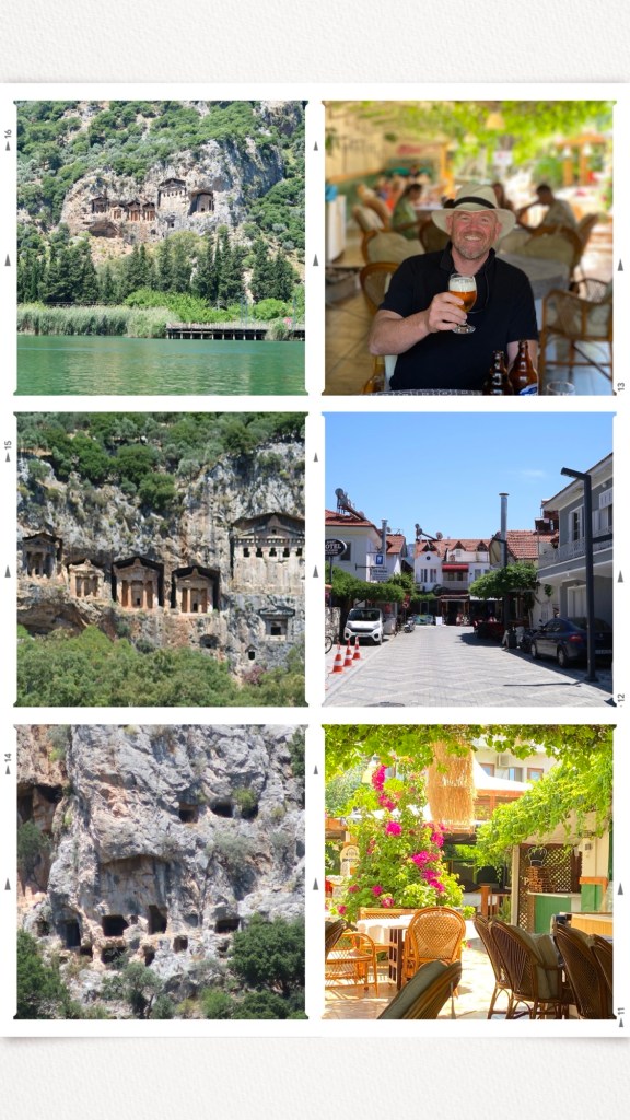
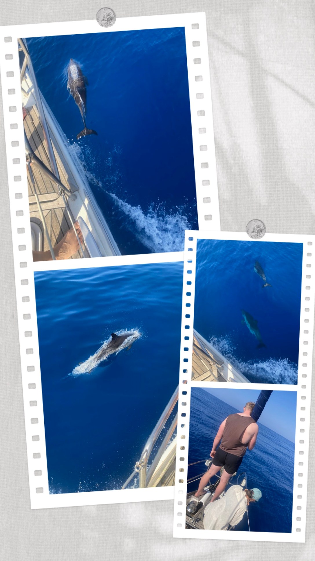
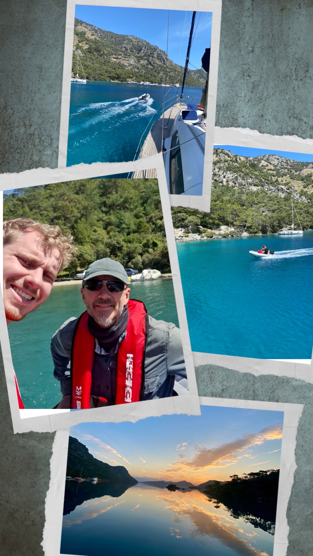
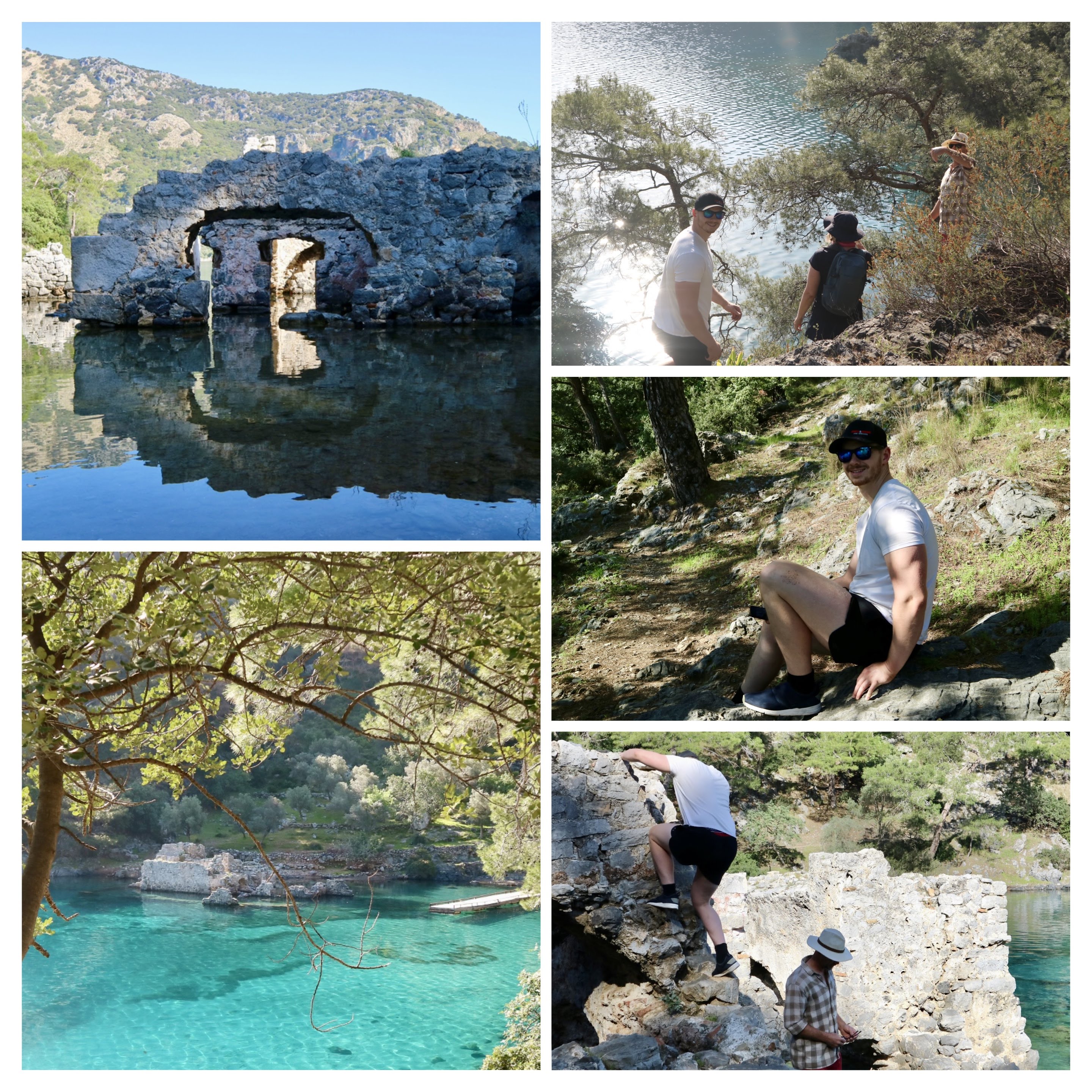
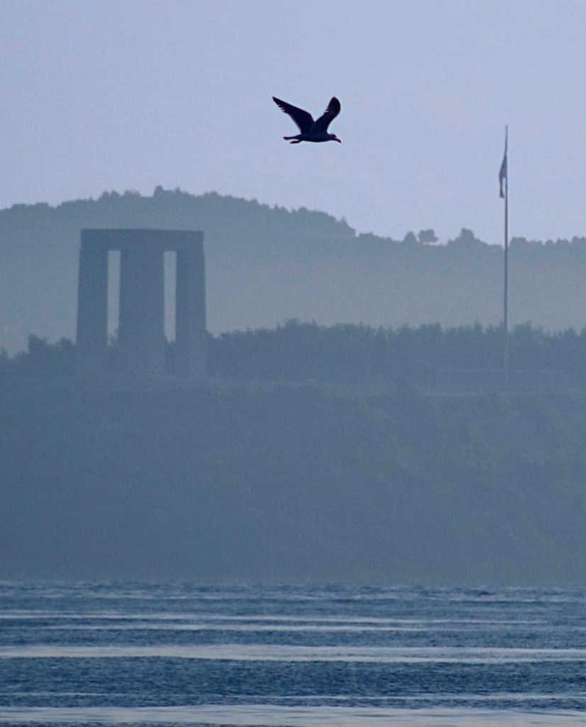
On that note, we left you in our last post as we headed for the little Greek island of Symi also known as Syme, Simi or Σύμη. This island is just 13 nautical miles (24.08 km) from Türkiye and on a good day you can sail across in just over two hours. Interestingly, it’s not the closest Greek island to Türkiye. This is claim goes to the tiny island of Kastellorizo (aka Castellorizo, Καστελλόριζο, Kastellórizo, Megisti) which is just 1.4 nm (2.5 km) from the Turkish mainland. You can sail this in about ¼ of an hour, not including raising and lowering the anchor. We visited Kastellorizo twice in the last 18 months, once with the lovely Rhonda; here are some photos of this gorgeous little Greek island.

We were lucky to share our second visit to this island with Rhonda. Rhonda is very dear to us, as her daughter, Georgia is marrying our Ned. And when Ned was extremely ill it was Georgia and Rhonda who took care of him when he was in Canberra. Ned and Georgia’s wedding in April 2025 will make our family ties official.
The open loathing these two “NATO allies” have for each other makes crossing the sea border interesting. Both Coast Guards and Navies actively patrol the borders and it’s not unusual to see fighter jets flying the border above. We’ve been shadowed by both Coast Guards numerous times while sailing along the border. We’ve also heard the Greek Coast Guard transmitting whistles over the radio calls of the Turkish Navy to disrupt their military games.
Nonetheless it’s common place for many motorboats, yachts, ferries, cruise ships and fishing boats of different nationalities to travel between the Greek islands and the Turkish mainland. Most of the time the appropriate check out and in formalities (Quarantine, Customs etc) are adhered to, though the little fishing boats don’t seem to care about such lofty things like national borders. The increase in refugee boats between the countries does have the Greek Coast Guard paying more attention to smaller boats than they may have in the past.
The Madness that is Summertime in the Greek Islands begins
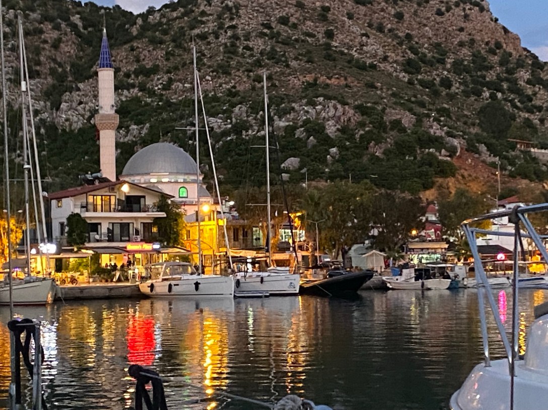
Our trip across the borders this time was uneventful, and we puttered into the anchorage outside the village of Pedi, on the island of Symi, in short order. Last year we stayed in the nearby town of Symi, and it was madness. Symi town is a hub for tourist ferries from within Greece and those coming from Türkiye. The town dock is conveniently close to the town centre, but the regular ferries create large wakes which bounce your boat about. This is not only irritating but can be dangerous if we aren’t securely moored some distance from the stone town wall. It’s like being home, doing your housework when suddenly you (and your home) are on a particularly gnarly roller coaster ride. The neighbouring boats are the other carriages but instead of them being in front and behind you they’re all tethered alongside, rubbing fenders and hulls for those unlucky enough to not have adequate fenders. It’s enough to make even a hardy sailor swear.
This time, on advice from a hardy sailor, we arrived in the quieter bay of Pedi. Pedi has no ferry traffic, only the occasional water taxi leaving a small dock that’s big enough for just one boat. There’s also a small “town dock” marina to the side which is well maintained and has helpful staff (to be fair Symi’s staff are helpful if a little harried). There’s also an option to anchor out which is always our preference as the boat can swing with the breeze which is much cooler.
It’s Just a jump to the Left – Bureaucracy in the Schengen Zone
You’ll remember in our last post I mentioned getting an agent in Türkiye to check us out of the country. Greece is much simpler; the option of agent is always there but it isn’t a requirement. Since we’re trying to understand the Schengen rules better, we took the opportunity to do our own paperwork in order to ask some questions along the way.
For those non-yachties you may be vaguely interested to know that one of the biggest pains in our transom (that’s a boats ass) is the dreaded Schengen Shuffle. As anyone who has flown into the Schengen zone* will know, you can only stay for 90 days in every 180 days. However, since the sailing season is April through to November, we must use non-Schengen countries* and trips home to fill in the rest of our time. Of course, the non-zone countries have their own visa restrictions. This all makes it a bit of a tricky thing to plan a sailing odyssey, especially when you consider the weather implications that always overlay our decisions to sail.
In addition, there are the laws that apply to our boat that we must consider. Thankfully Longo is Polish registered** and VAT paid (like GST), so unlike her crew, she can stay in the zone forever. Many of our friends, who proudly fly the Australian, Kiwi, or other non-Schengen zone flags, have additional requirements they must meet while sailing the Zone.
A lot of mental effort and anguish goes into how we can manage our time in and out of the Schengen zone. Dealing with bureaucrats is a source of lots of conversations and consternation, which only adds to the anguish. Stories abound of cranky officious bureaucrats who don’t know their own regulations or are just having a dreadful day. We’ve heard of favouritism and/or bias against certain ethnicity and even boat flags (apparently our Polish flag could lead to us being mistaken for pirates!). Unfortunately, from a recent conversation I understand that there may also be some prejudice against female skippers, with some officials asking for evidence of their credential but not that of male captains. In other words, the bureaucrats are just people with all the normal biases and fallibilities as other human beings; unfortunately, they have a certain amount of power which allows them to exercise those biases and fallibilities more often.
I have a secret weapon at my disposal that comes in very handy when dealing with even the crankiest of cranky official. That secret weapon just happens to be Longo’s devilishly handsome captain! I can confidently say I’ve yet to meet an official, man or woman, who has not succumbed to Ian’s polite respectful charm. Or is it the sparkling green eyes and that roguish smile of his? I’ve never asked. We’ve had our crew list fee waived because the lovely Port Police lady was shocked that he was a grandfather (“surely too young”) that she blushed hand to chest in a swoon. She wasn’t interested in me being a grandmother … hmmm. Some years ago, using this same charm and his Aussie accent, Ian was fast tracked through USA Department of Motor Vehicles process while I had to wait in line for a further twenty minutes. Alas we were different lines so I couldn’t ride his coat tails on that occasion. His manner always wins out and thus far we’ve never had any problems (I note that most of the other skippers I’ve met are all just as polite and respectful as Ian, perhaps it really is Ian’s devilish smile?)
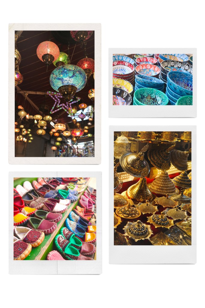
Thanks Truman for the excellent picture.
Most of the sailors we’ve meet, try hard to “live within the rules”. Though we are always open to any regulation interpretation or loophole that we might be able to exploit to extend our stay. So, Ian applied a little of his charm and we managed to spend the better part of an hour with the Port Police in Symi trying out various scenarios and interpretations of the regulations to see what might give us more than the allotted 90 days in Greece. Thankfully, it was a quiet day in Symi, and the lovely officer was more than happy to answer our questions. This time we weren’t successful in eking out more time in Greece, but we will be more prepared next time.
At this point I acknowledge those of you who may be experiencing a spot of schadenfreude when I talk about our very “first world” problems of not having enough time to sail our yacht in the countries with the prettiest islands and anchorages, historical hotspots, and lively culture! Yes! We are bloody lucky to be here, even though we worked bloody hard to make it happen.
Before we had our discussions with the Port Police in Symi we did a little bit of online sleuthing to see what might give us a better chance of extending our Greek adventures. What I thought was most interesting from our little journey down that rabbit hole are the following two non-bureaucratic tid-bits:
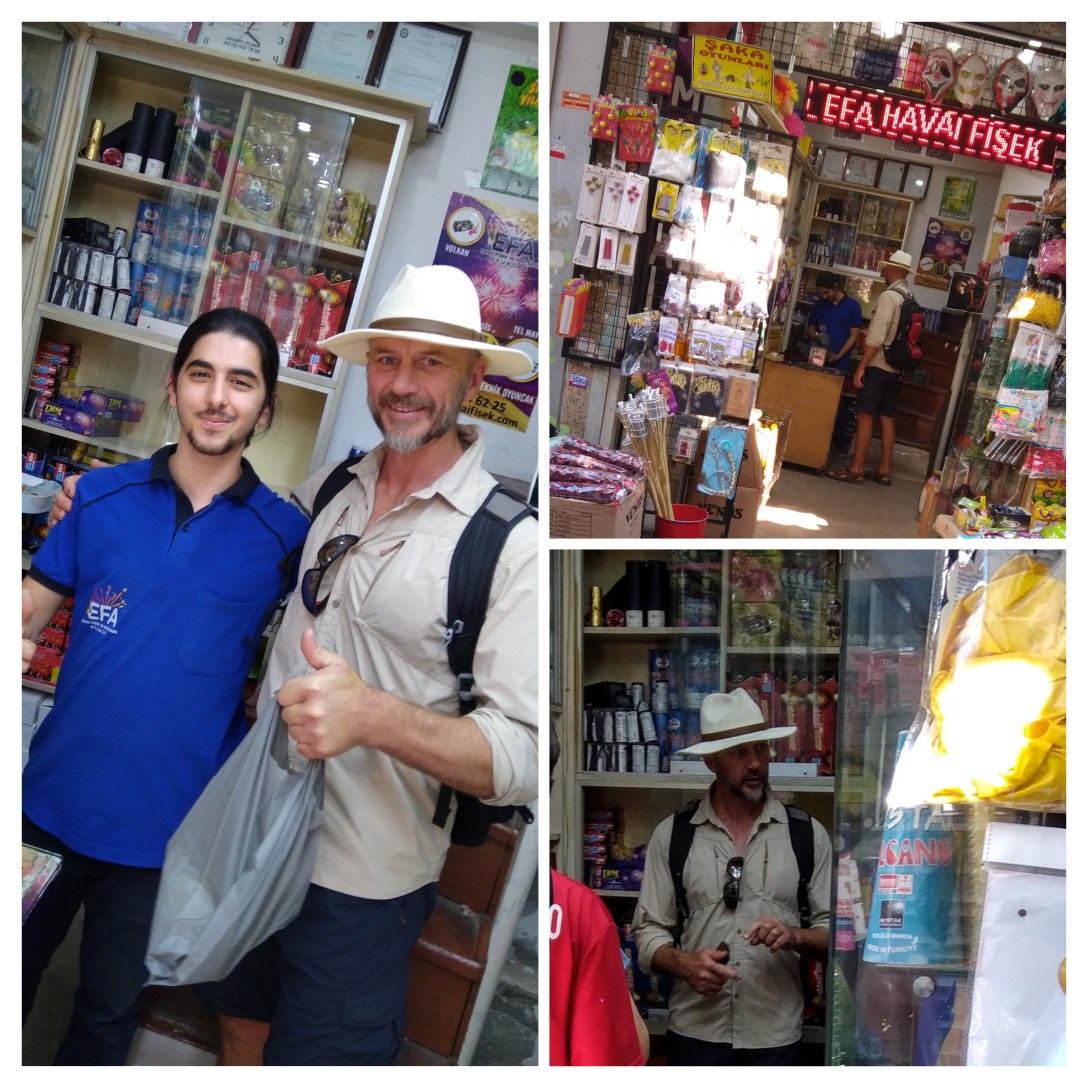
- Whenever we cross a border into a new country, we must fly a yellow flag called a Q Flag, or the Quebec or Yellow Jack flag. This flag is only removed after all the check-in procedures have been completed. Historically this signified a vessel that is, or might be, harbouring a dangerous disease and needs to be quarantined. Two Q Flags flown together is an express request for health clearance, i.e. you know you’re carrying the plague. Nowadays the Q Flag signals that the vessel has not been cleared into the country. This process can include Customs boarding and inspecting Longo. We’ve only had this happen once and they were very respectful of our home. They’re mainly looking for undeclared people, but officially they’re also looking for cigarettes, other contraband or greater than the allowed bottles of alcohol. Ian’s investment into spirited commodities could seriously be at risk unless he can turn that sparkling charm to effective use and convince them that an entire bilge filled with gin and another with champagne are just our normal personal use holdings. On the subject of “undeclared people” we had an interesting conversation with a Greek technician working on our boat last year about the profitability of such activities. This is the kind of story best left for the bar stool.
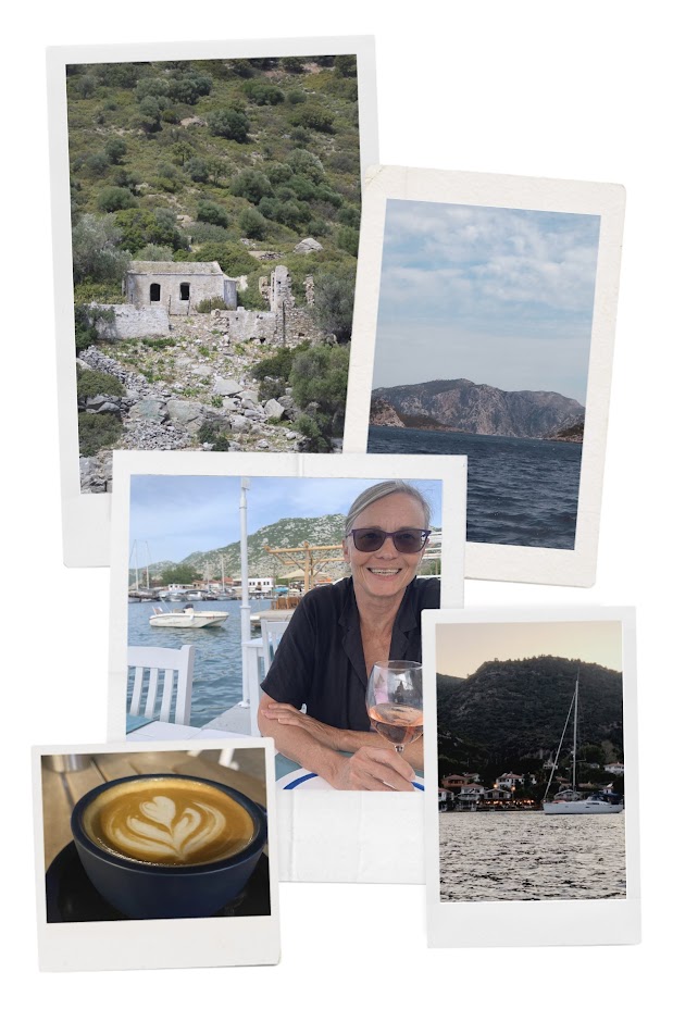
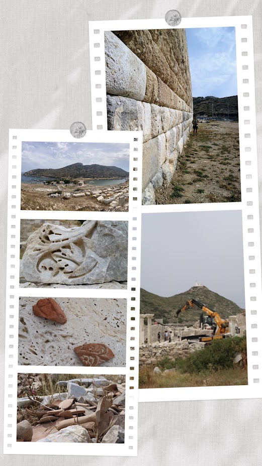
- Greece has over 6,000 islands, not to mention the mainland, all worthy of exploration, I think! Of the 6,000 islands, there are only 200 that are inhabited by 50 people or more. Then there is Italy, Croatia, France, Spain, Malta and Portugal and their satellite islands, the biggest that come to mind being Sicily and Sardinia (Italian), and Corsica (French). We might not visit every anchorage or even every island, but we are keen to explore every country fully. By my count we’ve only visited, most of Türkiye, 16 Greek islands and part of the Greek mainland, and a handful of Italian and French locations (our trip to Matla to pick up SV Chill doesn’t count); we have a way to go.
Symi, an Island of Contrasts.
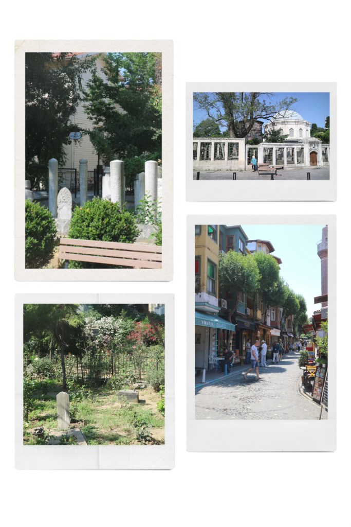
Symi is a rugged island with a history of ship building and sponge diving. It now exists almost entirely on tourism. If the name of the island is familiar that might be because it was where Dr Moseley unwisely went for walk in the heat of the day and didn’t come home.
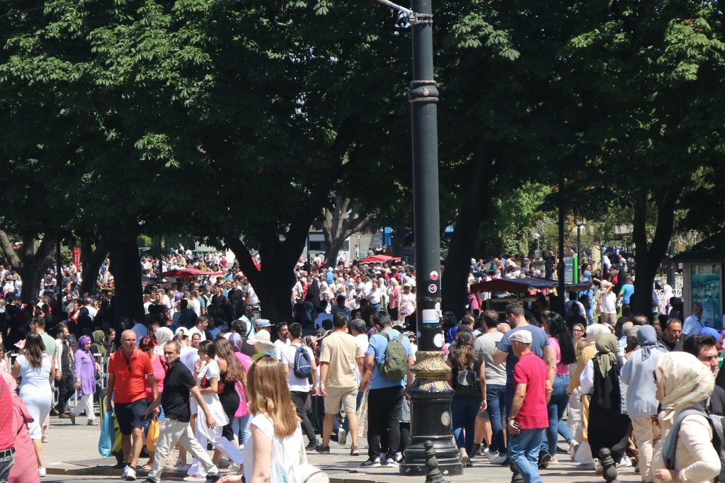
Symi town is crazy with the noisy hub bub of tourists. This is a sharp counterpoint to the sombre and weary faces of the refugees we saw being marched through the town on a previous visit. At the height of the season, when it’s hot and sticky, the hordes can be oppressive and there is little respite in the form of a breeze or shade unless you find a chair at one of the plentiful cafes.
Pedi, on the other hand, is much quieter. It feels like the place where the locals go to hide from the crowds. Consequently, it’s a lovely mellow place but it’s not quite my favourite place on this island. More on this in a minute, first a few interesting facts about the island generally:
- Symi is mentioned in the Iliad as the realm of King Nieus who fought in the Trojan war. Nieus would have been the most handsome man in the Aegean forces if it hadn’t been for Achilles. I wonder how he felt about of being the runner-up.
- In 1943 the Nazi’s occupied Symi which was previously “owned” by the Italians who may have nicked it from the Greeks who nicked it from the Ottomans who nicked it from the Greeks and so-on and so-on. However, in 1945 it hosted the formal surrender of German forces in the Aegean to the British. The British then governed the island until it was handed back to Greece in 1948.

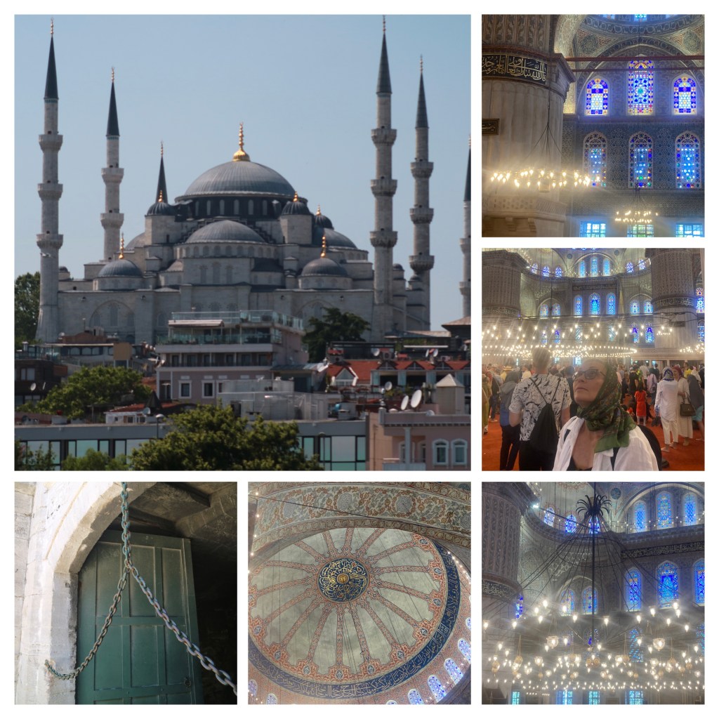
Monastery of the Archangel Michael at Panoramitis.
All this is interesting, but for me the gem of the island is the Monastery of the Archangel Michael at Panoramitis. This sits in a beautiful and protected bay on the other side of the island from Pedi and Symi town. We’ve anchored here twice before but this time we didn’t get the chance to go back as we had important places to be. Still, I wanted to share this marvellous magical little place with you.

In addition to being one of the safest anchorages in the area it is host to friendly turtles. I had the privilege to have one pop up to say hello when I was out on my kayak. It’s a shallow, but not too shallow, basin with plenty of room for a few boats at anchor. It’s protected on three sides by island hills that are craggy and might be considered uninviting to any but the hardest olive trees and goats.
However, there seems to be a thing here in Greece about building beautiful monasteries and churches in the most rugged of places. Panoramitis is by no means the most rugged or isolated monastery we’ve seen but it is one of the most stunning.
Archangel Michael of Panoramitis Monastery is one of the seven sacred sites along an imaginary line stretching from Ireland to Israel, known as “The Sword of Saint Michael”. Michael holds a place in all Christian denominations, Islam, Judaism and Baha’i Faith. So not a light weight by any stretch.
The monastery is a beautiful 18th century Venetian building with the highest baroque bell tower in the world. Within its wall is a church, which is reasonably new, but it rests on the foundations of an earlier church dating back as far as 450 CE. This older church rests over an ancient temple dedicated to Apollo. Panoramitis is amongst my most treasured places from our adventures. Its tranquillity is only broken by the bells ringing out to welcome the small tourist boat that brings folk from the nearby island of Rhodes once or twice a day.
At other times you can hear the monks singing. There is only limited accommodation within the walls of the monastery and a semi-regular bus service. Otherwise, there’s a taverna, a cafe and a brilliant little bakery, the ubiquitous goats and not much else going on. It’s not what I would call a hotspot for most visitors to the region. For all these reasons, I love this place.

I’m not the only one that loves Panoramitis. The Archangel Michael is especially fond of Panoramitis. In fact, folks claim to have heard him sweeping the floor of the church at night. He must like to tidy house after a busy day of smoting. Consequently, it is common practice for supplicants to bring Michael a broom in the hope he will grant them a boon in return. It is also common to see bottles containing prayers inside the Panoramitis church. These bottled prayers are said to be the prayers of Greek sailors that have washed up on the shores of the monastery.
The Archangel who is also known as Saint Michael the Taxiarch. A taxiarch is a brigadier. In this context Michael is the leader of the heavenly host. He’s definitely not someone you want to piss off. Michael is not above showing his displeasure at those that promise a broom and don’t deliver. He’s has been known to prevent ferry boats from leaving the dock when they’re carrying wayward passengers. The captains on the ferries will make an announcement over the PA to the passengers saying that someone has forgotten to fulfil their promise and the ferry can’t leave until a broom is procured from the cafe and left in the church for the Archangel.
I’ve read the reviews of a few cruisers who don’t hold the same fond memories of Panoramitis, claiming dragging anchors and rolly nights. I’m not sure I would be brave enough to write such a negative review myself, Michael is after all the Angel that cast Lucifer “the Morning Star” out of heaven!

Michael is the patron saint of the island and guardian of sailors in the Dodecanese. I guess this is a role he shares with Saint Nicholas. The church is home to a very special icon of the Archangel Michael. Here’s the best inception story of the Monastery that I could find:
“While a pious hostess – “Mario of Protenios” – was digging on her property in Panormos, she found under a roof a small old icon of the Archangel Michael. With extreme secrecy, she took the Icon and carried it to the iconostasis of her house in Symi, where she was burning a dormant candle. The next day, however, she found that the Icon had disappeared. When she later went to her estate in Panormos, she found the Icon in its original position under the rope. The housewife brought the Icon back to her house, but it surprisingly returned to the place where it was found. This event was repeated three times. The woman’s sorrow ceased, when she saw in a dream the Archangel Michael, who expressed to her, his desire to remain in Panormos. After this, the pious woman now announced the fact and with the assistance of her compatriots, she erected a small naydrio, on which she enthroned the Admiral”.
This website also notes that the silver work on the icon was a later addition likely done in the 1700s. www.panormitisymis.gr
Such miraculous icons are known as Acheiropoietia which means they are “made without hands”. The most well-known and maybe controversial(?) is the Shroud of Turin. We have seen at least one other acheiropoieton, which I will tell you about in my next post.
Finally, I found a Greek news report (Archangel Michael Miracle) that details the miraculous disappearance and reappearance of the face on the Icon during the Great Vespers service on 07 November 2008 (the Feast Day of Saint Michael). Unfortunately, though reasonably, the news report is in Greek.
I had best stop there or else I will be accused of writing a book on this beautiful and magical little place.
I was disappointed that our visit to Symi this time wouldn’t include Panoramitis as it meant I didn’t get to deliver a broom to Saint Michael which I had plan to do, maybe I’ll drop a bottle in the ocean with a prayer asking for assistance with the bureaucracy instead. However, we had to set sail for Kos, where we would be collecting one of my best mates, Lesley. But I’ll cover that next time, and until then, we wish you fair winds and a dearth of sea monsters on your journey through life. And an extra special thank you to all those who have stuck with this rather lengthy post until its end, I love you all. x
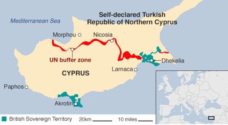
* EU Schengen Zone: Austria, Bulgaria, Belgium, Czech Republic, Croatia, Denmark, Estonia, Finland, France, Germany, Greece, Hungary, Iceland, Italy, Latvia, Liechtenstein, Lithuania, Luxembourg, Malta, Netherlands, Norway, Poland, Portugal, Romania, Slovakia, Slovenia, Spain, Sweden, and Switzerland. Those in bold represent the countries are all part of “the Med” where we will be sailing over the next few years. In addition to these countries the non-Schengen countries in the Med are Türkiye (2022 winter), Cyprus, Nth Cyprus (2023 winter never again!!), Montenegro (this year’s winter) and Albania.
** The Polish flag is a “flag of convenience”. Its benefits include a once off registrations (non-annual), for us no requirement to complete a survey (the boat has been surveyed but not for registration purposes), its cheap (always a bonus), and can be completed online (we love automation that works for us). It is also for these reasons that some officials believe that pirates and refugee runners use it.


")


